Authors: Caleb Cheruiyot, Esther Judith Otieno, Francis Onyambu, Dancan Owaga, Caroline Kabaria
Approximately one billion people globally are estimated to live in informal settlements yet many of these settlements remain invisible in the data used for policy and decision making(UN News2025). As a result these communities are often excluded from urban planning processes and resource allocation. Additional estimates further indicate that, due to rapid urbanization across cities in Africa, one in four Africans will live in the informal settlements by 2030. Without reliable and inclusive data, city planners will have a challenge in designing policies and plans that effectively respond to the needs of the populations in the informal settlements.
The IDEAMAPS project responds to this challenge by co-designing and co-developing a participatory data-modelling ecosystem that produces deprived area maps across cities in lower and middle-income countries. This data ecosystem combines artificial intelligence (AI), machine learning, and earth observation data with participatory mapping to improve how we define, identify and understand areas of deprivation (“slums”) in cities.
In its pilot cities, Nairobi (Kenya), Lagos and Kano (Nigeria), IDEAMAPS has generated new data and enhanced the capacities of various stakeholders to understand and address urban poverty, health and well-being.
In Kenya, the African Population and Health Research Center (APHRC) team, through the participatory approach, co-developed 6 models for Nairobi City which include;
- Morphological Informality – focuses on mapping the difference between formally and informally planned areas of cities as an indication of urban deprivation.
- Road Access Deprivation – focuses on mapping how well buildings are connected to roads, taking into consideration the road surface type (paved/unpaved).
- Accumulated Waste Piles – shows the chance of finding piles of waste in different public spaces.
- Flood Hazard – maps the potential risk of flooding across urban areas in cities.
- Emergency Obstetric Care Access Deprivation – shows how women in slums and deprived areas struggle to access emergency maternal care (EmOC).
- General Healthcare Access Deprivation – shows how people living in cities and deprived areas have difficulty in getting basic healthcare.
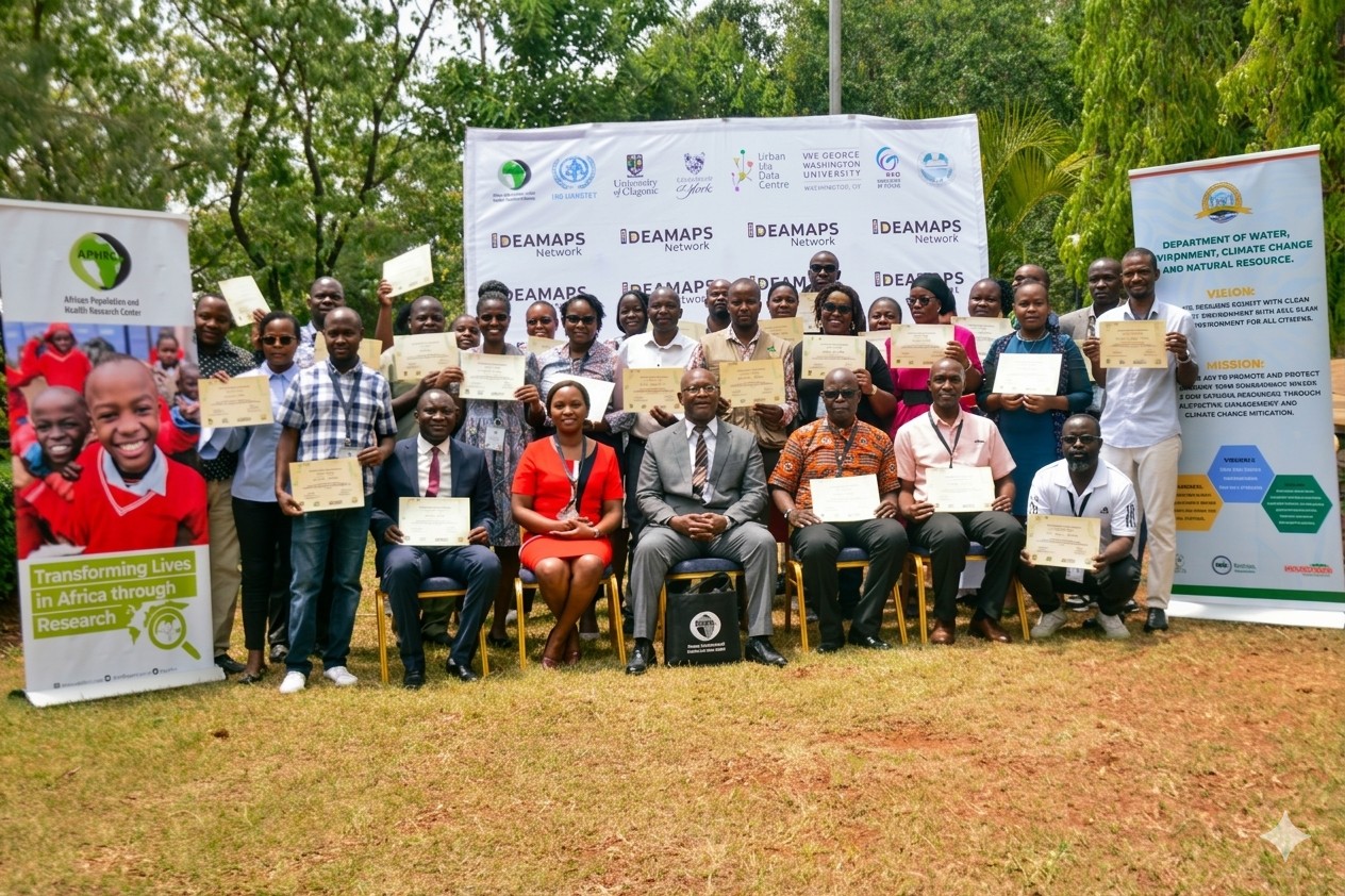
These models were validated through a series of multiple stakeholder workshops. Community leaders and members, representatives from county and national government, academia, disaster response teams, non-governmental organizations, community based organizations and community mappers within Nairobi reviewed the model outputs and shared feedback for improvement. After a successful first phase of the pilot cities, the IDEAMAPS project proposed expanding the models and learnings to more cities across the globe including Kisumu, Accra, Harare, Pereira, Katmandu, Beira, Pasto and Abuja.
Why Kisumu as an expansion city
Kisumu is the third largest city in Kenya. It is a regional capital and an administrative, commercial and industrial centre for the Lake Victoria basin. It developed due to its strategic location as an internal port and a railway terminus. As such, Kisumu city has an ever growing population as a secondary city, and thus the demand for essential services is increasing. The informal settlements get the hardest hit since they have even less access to these services but the population increase is high due to rural-urban migration. These were part of the reasons why Kisumu was selected as a suitable expansion city in Kenya.
Based on learnings from Nairobi and available data, the models developed for Kisumu were;
Morphological Informality, Road Access Deprivation, Flood Hazard, Emergency Obstetric Care Access Deprivation, and General Healthcare Access Deprivation
Expansion cities workshop engagement in Kisumu
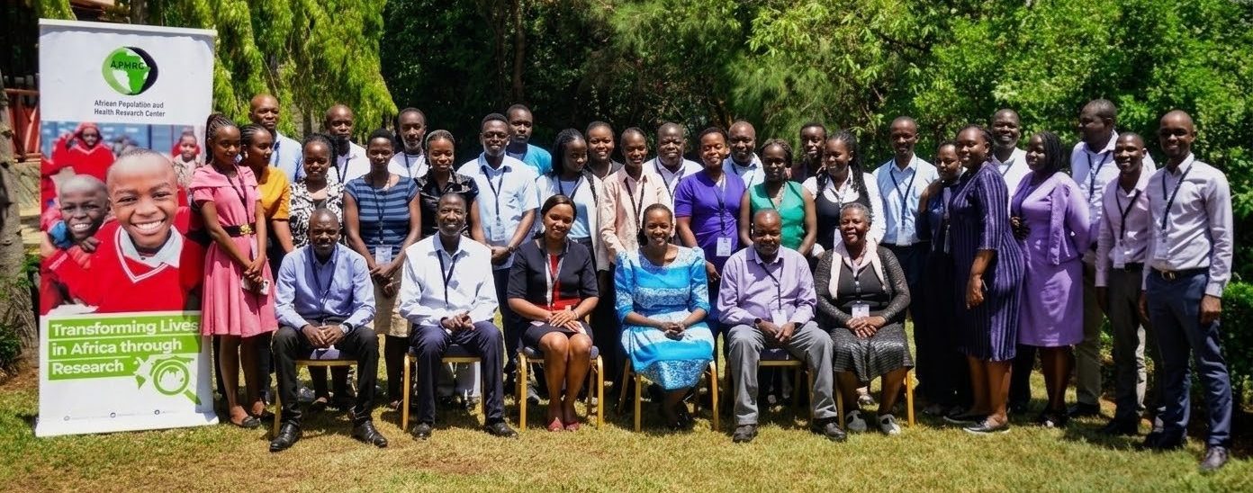
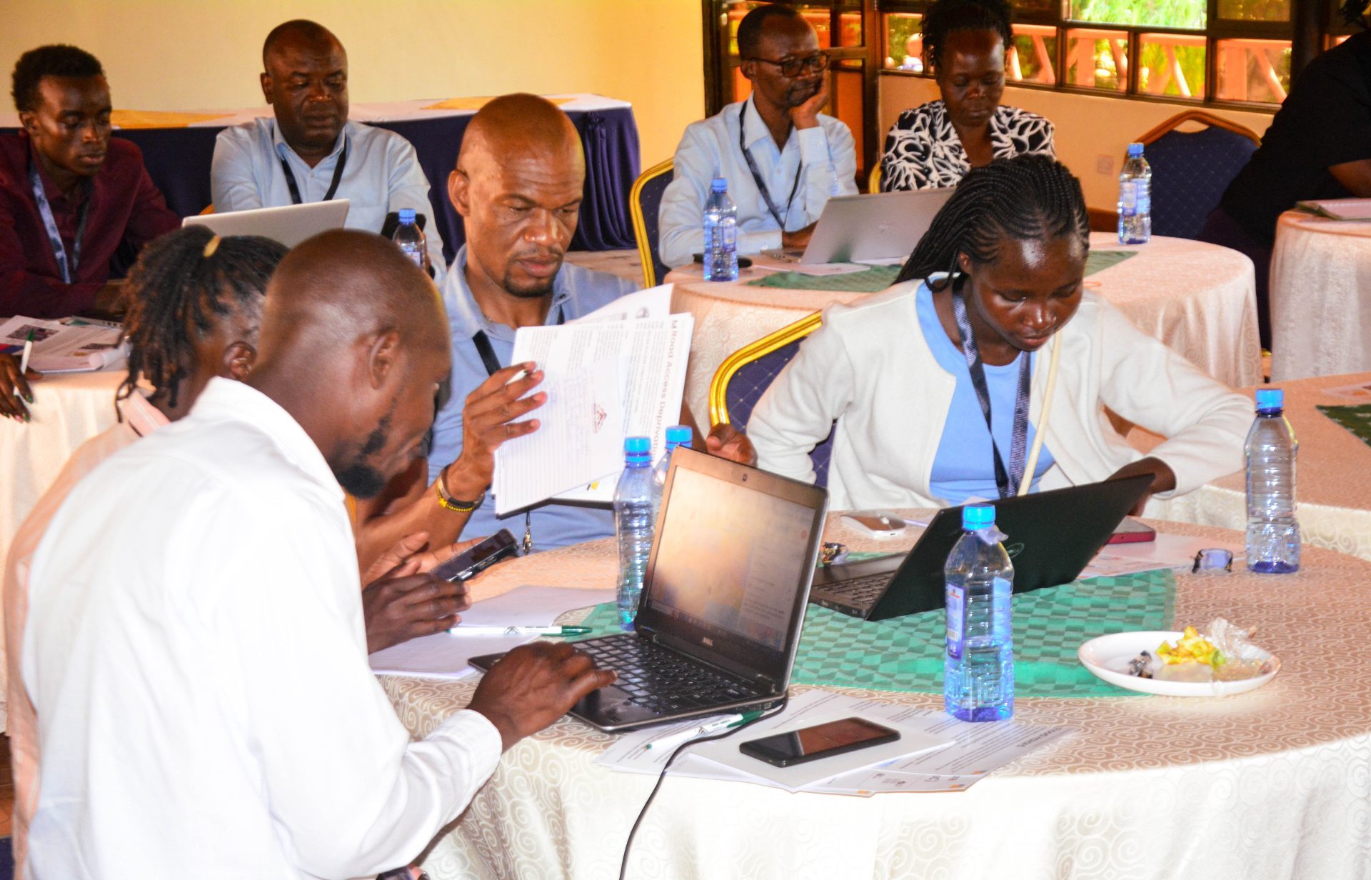
Early 2026, the APHRC team led by Dr. Caroline Kabaria, convened a diverse group of stakeholders in Kisumu city to validate the IDEAMAPS models and explore how the platform could support decision-making across sectors within the county government. The engagement brought together experts from: academia, county and national government, community-based organisations, non-governmental organisations, community mappers and community representatives. The diversity of stakeholders brought valuable perspectives on what deprivation means and how the data can support more inclusive urban development.
In his remarks during the engagement, Dr. K’Onyango Charles, Kisumu County Executive Committee Member for Land, Housing, Physical Planning and Urban Development, emphasized the critical role of IDEAMAPS for the future. He noted that by 2030, according to the UN-HABITAT(2023) country brief report, 50% of Kenyans will live in urban areas. In return, this rapid urban growth will increase the number of people living in informal settlements, where overcrowding, poor housing, limited infrastructure, and inadequate access to water, sanitation, and social services remain everyday challenges. He stressed the need for deprivation profiles that go beyond infrastructure to include social and economic realities, such as mental healthcare access.
“Data must lead to transformative action and deprivation models will be useful for climate resilience among the urban poor”.
He highlighted Nairobi’s informal settlements along the rivers as flood prone areas, where children miss school, women lack healthcare, and men struggle to reach their places of work. In Kisumu, these challenges can be highlighted through participatory approaches and addressed before they escalate.
Outputs of validation
Some of the outputs of the validation included:
Flood Hazard Model – The classes need to be redefined since certain aspects may not apply within the context of Kisumu. The model indicates that knee-height water levels present a higher level of risk than ankle-height flooding. However, stakeholders emphasized that prolonged ankle-height flooding poses greater health risks to communities compared to short-term knee-height flooding.
Morphological informality – Currently the model was focused on Kisumu city although stakeholders saw the need to expand to cover the larger Kisumu county since many small rural centers are developing informal settlements.
General Healthcare Access – The model is well representative of the actual healthcare access conditions within the city, although there is a need to expand it to show more specialised medical care i.e mental healthcare access.
Obstetric Healthcare Access – Community preferences often differ from proximity-based assumptions. The model relied on data from the Kenya Master Health Facilities Registry, but stakeholders highlighted the need for ground verification, as some facilities may be listed as offering services that are not consistently available.
Road Access – The model generally performed well in most parts of the city and its description was relevant to the stakeholders.
The engagement was impactful as stakeholders took ownership of the model validation process and even suggested relevant improvements to the platform. Notable feedback included adding a comment section to capture feedback so that the developers get to understand different situations where direct engagement isn’t there. Additionally, while 100*100 grid cells are good for cities, it may mask out a lot of information when it is used in the peri-urban areas.
Ultimately, strengthening awareness and adoption of the IDEAMAPS platform can transform how cities understand and respond to urban deprivation. By integrating such models into an interactive mapping interface, the platform can help policymakers and planners clearly identify vulnerabilities and prioritize targeted interventions.
You can access the IDEAMAPS data ecosystem platform through: https://www.ideamapsdataecosystem.org/